Picture 1 of 11


Gallery
Picture 1 of 11


Have one to sell?
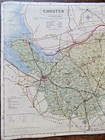
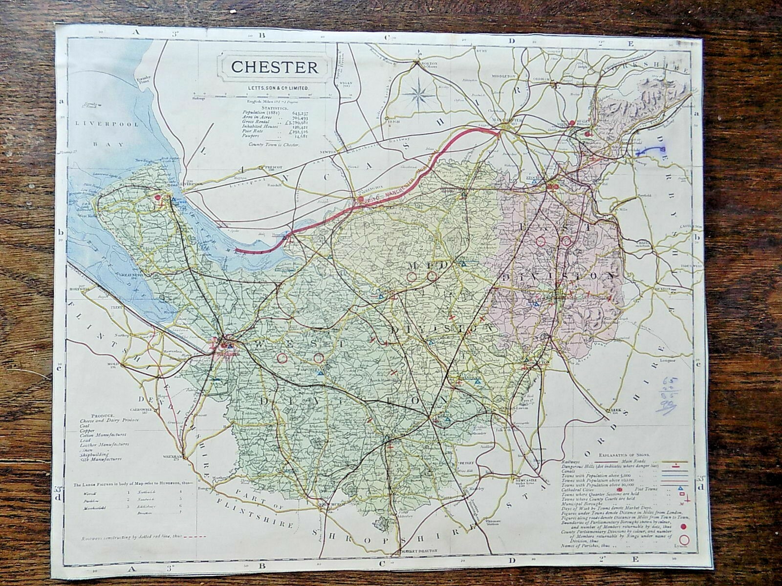
1884 County Map Chester Cheshire Lett Popular Atlas England Old Antique Vintage

£14.99
ApproximatelyEUR 17.17
Condition:
“Numbers and X mark in crayon on the right hand side (see photos). Cut close to borders. Evidence of ”... Read moreAbout condition
- Buy it now1884 County Map Chester Cheshire Lett Popular Atlas England Old Antique Vintage
Oops! Looks like we're having trouble connecting to our server.
Refresh your browser window to try again.
Postage:
£8.00 (approx EUR 9.16) Standard Int'l Postage.
Located in: Fairlight, United Kingdom
Delivery:
Estimated between Mon, 6 Oct and Tue, 21 Oct to 94104
Returns:
30 days return. Buyer pays for return postage. If you use an eBay delivery label, it will be deducted from your refund amount.
Payments:
Shop with confidence
Seller assumes all responsibility for this listing.
eBay item number:123663573670
Item specifics
- Seller notes
- Year
- 1884
- Country/Region
- England
- Type
- County Map
- Original/Reproduction
- Antique Original
- Era
- Victorian
- Format
- Sheet Map
- Date Range
- 1800-1899
- Cartographer/Publisher
- Letts, Son, & Co. Limited.
- County
- Cheshire
Item description from the seller
Seller business information
About this seller

Maps Music and More with Mitchmap50
100% positive Feedback•5.1K items sold
Registered as a business seller
Seller Feedback (2,809)
- eBay automated Feedback- Feedback left by buyer.Past monthOrder completed successfully – tracked and on time
- eBay automated Feedback- Feedback left by buyer.Past monthOrder completed successfully – tracked and on time
- eBay automated Feedback- Feedback left by buyer.Past monthOrder completed successfully – tracked and on time
More to explore:
- Cheshire County Map Antique Europe Atlas Maps,
- Cheshire Antique Europe County Maps,
- Cheshire Antique Europe Atlas Maps,
- County Map Antique Atlas Maps,
- County Map Antique Atlas,
- County Map Antique Europe Atlas Maps,
- Cheshire Antique Original Antique Europe Atlas Maps,
- Antique Original County Map Antique Atlas,
- Somerset County Map Antique Europe Atlas Maps,
- John Bartholomew County Map Antique Atlas Maps
Maps Music and More with Mitchmap50
100% positive Feedback•5.1K items sold
Registered as a business seller
Seller Feedback (2,809)
- eBay automated Feedback- Feedback left by buyer.Past monthOrder completed successfully – tracked and on time
- eBay automated Feedback- Feedback left by buyer.Past monthOrder completed successfully – tracked and on time
- eBay automated Feedback- Feedback left by buyer.Past monthOrder completed successfully – tracked and on time