
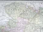
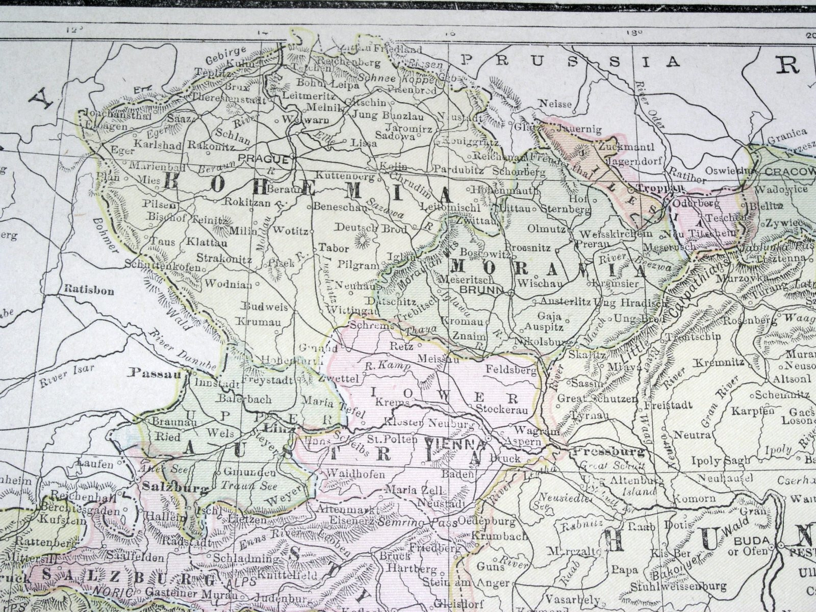
1900 ANTIQUE MAP OF AUSTRIA HUNGARY EMPIRE POLAND GALICIA TRANSYLVANIA / GERMANY
US $33.87US $33.87
Fri, 09 May, 17:55Fri, 09 May, 17:55
Picture 1 of 18


Gallery
Picture 1 of 18


Have one to sell?
1900 ANTIQUE MAP OF AUSTRIA HUNGARY EMPIRE POLAND GALICIA TRANSYLVANIA / GERMANY
US $33.87
ApproximatelyEUR 29.70
or Best Offer
Condition:
“MARGINS TRIMMED / SOME STAINS AND PRINTING ERRORS - SEE THE PHOTOS.”
Oops! Looks like we're having trouble connecting to our server.
Refresh your browser window to try again.
Postage:
Free Standard Shipping from Canada.
Located in: Montreal, Quebec, Canada
Delivery:
Estimated between Mon, 4 Aug and Fri, 8 Aug
Returns:
60 days return. Seller pays for return postage.
Payments:
Shop with confidence
Seller assumes all responsibility for this listing.
eBay item number:156931282187
Item specifics
- Seller notes
- “MARGINS TRIMMED / SOME STAINS AND PRINTING ERRORS - SEE THE PHOTOS.”
- Date Range
- 1900-1909
- Year
- 1900
- Country/Region
- Austria, Bohemia, Bosnia & Herzegovina, Croatia, Czechoslovakia, Czech Republic, Germany, Hungary, Italy, Moravia, Poland, Prussia, Romania, Slovakia, Slovenia, Ukraine
Item description from the seller
Seller business information
Seller Feedback
No Feedback yet
More to explore:
- Empire 1900-1940 Antique Solid Silver Cutlery,
- Antique Empire Chandeliers,
- Empire Antique Silver,
- 1900-1909 Date Range Antique Railroad Maps,
- Antique Original 1900-1909 Date Range Antique Atlas Maps,
- French Empire Antique,
- Germany Marine & Maritime Antiques,
- 1900-1909 Date Range County Map Antique Europe Atlas Maps,
- Antique Original 1900-1909 Date Range Antique Sheet Maps,
- 1900-1909 Date Range Antique World Maps & Atlases