Picture 1 of 8


Picture 1 of 8


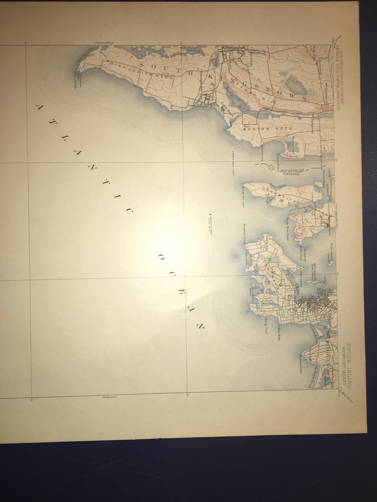

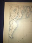
1904 USGS topographic map Newport Rhode Island

US $99.00
ApproximatelyEUR 88.85
or Best Offer
Condition:
“This map is near perfect, without any stains, folds, tears or marks.”
Postage:
US $4.50 (approx EUR 4.04) USPS First Class®.
Located in: Slingerlands, New York, United States
Delivery:
Estimated between Tue, 1 Oct and Sat, 5 Oct to 43230
Returns:
30 days return. Buyer pays for return postage.
Payments:
Shop with confidence
Seller assumes all responsibility for this listing.
eBay item number:194939111981
Item specifics
- Seller notes
- “This map is near perfect, without any stains, folds, tears or marks.”
- Original/Reproduction
- Antique Original
- Type
- Topographical Map
- Year
- 1909
- US State
- CT, MA, ME, NH, RI, VT
- Date Range
- 1900-1909
- City
- Newport
Item description from the seller

Popular categories from this shop
Registered as a business seller
Seller Feedback (864)
- o***- (320)- Feedback left by buyer.Past monthVerified purchaseQuick response, item as described, quick shipping. Very pleased, thank you!
- 0***5 (569)- Feedback left by buyer.Past 6 monthsVerified purchaseFast & furious. Highly recommend this stellat seller!!1940's Army (like USGS) topographic map EastHampton Massachusetts -6468 I SW (#203210279753)
- m***4 (39)- Feedback left by buyer.Past 6 monthsVerified purchaseGood transaction.
More to explore:
- Newport Rhode Island Antique North America Maps & Atlases,
- Antique North American Maps & Atlases Rhode Island,
- Rhode Island Antique North America City Maps,
- Rhode Island Antique Original Antique North American Maps & Atlases,
- Antique North American Maps & Atlases Newport,
- Antique Topographical Maps,
- Antique Europe Topographical Maps,
- Topographical Map Antique Africa Atlas Maps,
- Topographical Map Antique Atlas,
- Vintage Original Topographical Map Antique Sheet Maps