Picture 1 of 17


Gallery
Picture 1 of 17


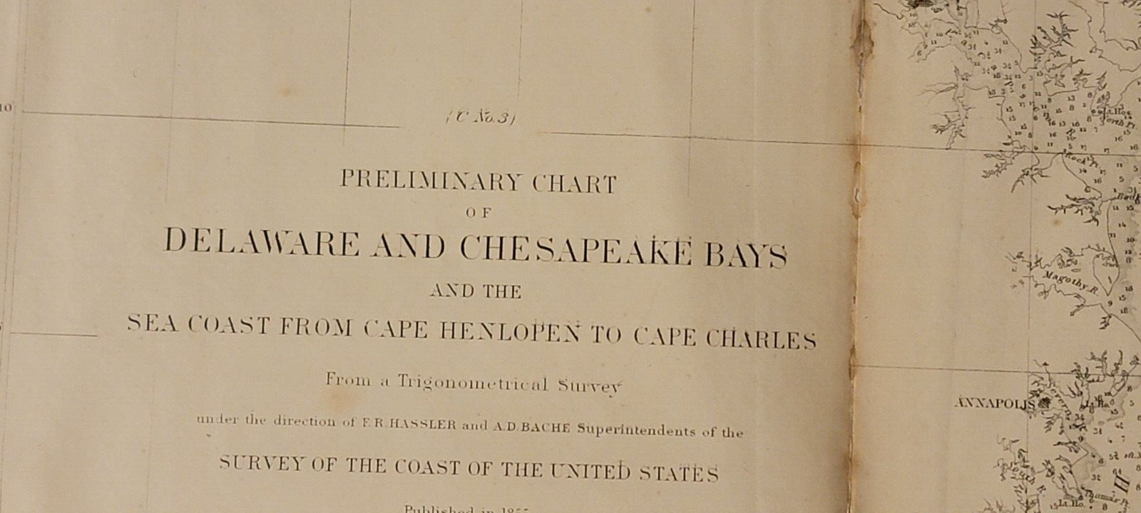


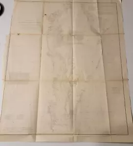
1855 US Coast Survey preliminary chart map Chesapeake Delaware Bays Baltimore
US $125.00
ApproximatelyEUR 110.65
or Best Offer
Condition:
- Buy it now1855 US Coast Survey preliminary chart map Chesapeake Delaware Bays Baltimore
Oops! Looks like we're having trouble connecting to our server.
Refresh your browser window to try again.
Postage:
Free USPS Media MailTM.
Located in: Lafayette, Colorado, United States
Delivery:
Estimated between Wed, 7 May and Mon, 12 May to 43230
Returns:
No returns accepted.
Payments:
Shop with confidence
Seller assumes all responsibility for this listing.
eBay item number:196941410302
Item specifics
- Date Range
- 1850-1899
- Type
- Nautical Map
- Format
- Folding Map
- Printing Technique
- Lithography
- US State
- Delaware, Maryland, Virginia
- Year
- 1855
- Original/Reproduction
- Antique Original
- Cartographer/Publisher
- A. D. Bache
- City
- Baltimore, Charleston
- Country/Region
- United States of America
Item description from the seller
About this seller
dprussi7
100% positive Feedback•142 items sold
Registered as a private sellerThereby, consumer rights stemming from EU consumer protection law do not apply. eBay buyer protection still applies to most purchases.
Seller Feedback (62)
- r***1 (1365)- Feedback left by buyer.Past monthVerified purchaseItems arrived promptly and as described.
- u***b (3)- Feedback left by buyer.Past monthVerified purchaseEverything great
- e***t (156)- Feedback left by buyer.Past monthVerified purchaseExcellent communication with seller. The magazine was much nicer than expected and packaged nicely. Thank you.
More to explore:
- Antique Ordnance Survey Maps,
- Antique North American Maps & Atlases Delaware,
- Antique Europe Ordnance Survey Maps,
- Ordnance Survey Map Antique Folding Maps,
- Ordnance Survey Map Antique Sheet Maps,
- 1940-1949 Antique Ordnance Survey Maps,
- 1930-1939 Antique Ordnance Survey Maps,
- 1950-1959 Antique Ordnance Survey Maps,
- 1920-1929 Antique Ordnance Survey Maps,
- Leicestershire Ordnance Survey Map Antique Europe Sheet Maps