Picture 1 of 12


Gallery
Picture 1 of 12


RARE Complete Large 1855 Scott's Map of India w Bengal & Bombay~2 part~48 x 27in
US $500.00
ApproximatelyEUR 447.03
or Best Offer
Condition:
“Original hand colored engraved map in two sections, in total measuring 48 x 27 inches (122 x 69 cm). ”... Read moreAbout condition
- Buy it nowRARE Complete Large 1855 Scott's Map of India w Bengal & Bombay~2 part~48 x 27in
Oops! Looks like we're having trouble connecting to our server.
Refresh your browser window to try again.
Postage:
US $21.50 (approx EUR 19.22) USPS First Class®.
Located in: Northampton, Massachusetts, United States
Delivery:
Estimated between Fri, 16 May and Tue, 20 May to 43230
Returns:
30 days return. Buyer pays for return postage. If you use an eBay delivery label, it will be deducted from your refund amount.
Payments:
Shop with confidence
Seller assumes all responsibility for this listing.
eBay item number:295963829248
Item specifics
- Seller notes
- Date Range
- 1800-1899
- Format
- Sheet Map
- Year
- 1855
- Cartographer/Publisher
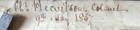
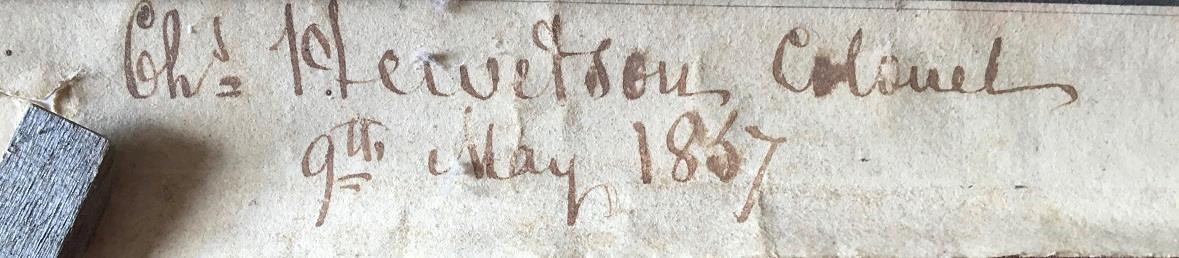
- Scott, Harvey & Walker
- Original/Reproduction
- Antique Original
- City
- Madras
- Country/Region
- India
Item description from the seller
Seller business information
About this seller

BOOK and PAPER LASSIE
100% positive Feedback•7.0K items sold
Registered as a business seller
Seller Feedback (4,218)
- r***p (1885)- Feedback left by buyer.Past monthVerified purchaseGood experience with this seller.
- n***y (1211)- Feedback left by buyer.Past monthVerified purchaseBeautiful item and fast shipping. Thank you!
- w***8 (11745)- Feedback left by buyer.Past monthVerified purchaseGreat
More to explore:
- Antique Asian Maps & Atlases Bombay,
- Bombay Antique Original Antique Asia Maps & Atlases,
- Antique Asian Maps & Atlases Bombay 1800-1899 Date Range,
- S & N Buck Antique Maps, Atlases & Globes,
- Antique S & N Buck European Maps & Atlases,
- Ordnance Survey Map Antique Folding Maps,
- County Map Antique Sheet Maps,
- Topographical Map Antique Folding Maps,
- Geological Map Antique Sheet Maps,
- County Map Antique Europe Atlas Maps
Seller Feedback (4,218)
- r***p (1885)- Feedback left by buyer.Past monthVerified purchaseGood experience with this seller.
- n***y (1211)- Feedback left by buyer.Past monthVerified purchaseBeautiful item and fast shipping. Thank you!
- w***8 (11745)- Feedback left by buyer.Past monthVerified purchaseGreat