Picture 1 of 4


Picture 1 of 4

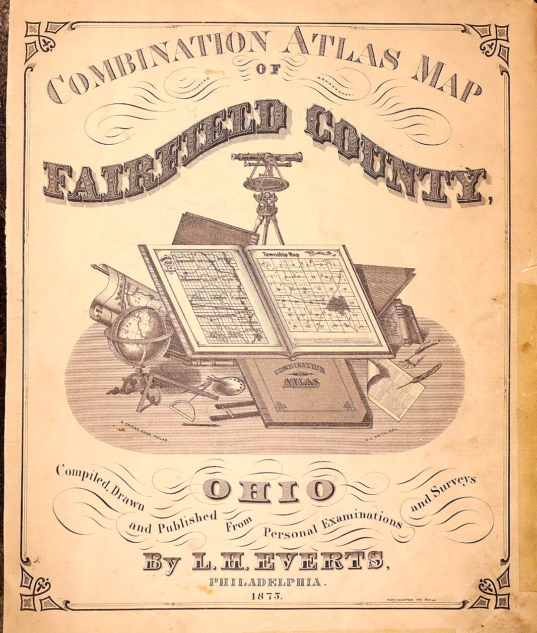


1875 Plat Map ~ LIBERTY Twp. - BASIL, FAIRFIELD Co., OHIO ~ (14x17)-#012

Condition:
“This map is not *new* or *new* condition. It was removed from a Plat Atlas and printed in 1875. ”... Read moreAbout condition
Ended: 12 May, 2024 22:18:01 BST
Postage:
Free USPS Ground Advantage®.
Located in: Schertz, Texas, United States
Delivery:
Estimated between Wed, 2 Oct and Mon, 7 Oct to 43230
Returns:
30 days return. Buyer pays for return postage.
Payments:
Shop with confidence
Seller assumes all responsibility for this listing.
eBay item number:355694426172
Item specifics
- Seller notes
- US State
- Ohio
- Format
- Atlas Map
- Year
- 1875
- S&H
- Free S&H USA - Calculated S&H Worldwide
- Cartographer/Publisher
- L. H. Everts
- Original/Reproduction
- Antique Original
- Land Owners
- Great for ancestry, genealogy & family history research
- County
- Fairfield County
- Original
- This map page was printed in 1875.
- Ref.
- The title page / cover is not included, it is only for reference.
- Age
- Over 140 years old.
Item description from the seller

Registered as a private seller
Thereby, consumer rights stemming from EU consumer protection law do not apply. eBay buyer protection still applies to most purchases.
More to explore:
- Ohio Antique North America City Maps,
- Antique North American Maps & Atlases Ohio,
- Ohio Antique Original Antique North America Maps & Atlases,
- Ohio Antique North America Maps & Atlases 1800-1899 Date Range,
- Liberty Antique Silver,
- Liberty Antique Silver Spoons,
- Geological Map Antique Sheet Maps,
- Liberty Antique Solid Silver Cutlery,
- River Map Antique Sheet Maps,
- Topographical Map Antique Folding Maps