
Picture 1 of 3


1871 Plat Map ~ ROCKTON - ROSCOE, WINNEBAGO Co., ILLINOIS ~(15x17)-#011
1 watched in the last 24 hours
Condition:
“This map is not *new* or *new* condition. It was removed from a Winnebago County, Illinois Plat ”... Read moreAbout condition
Offer ends in: 8h 2m
Price:
US $45.95
ApproximatelyEUR 42.79
Was US $48.88
Save US $2.93 (6% off)
- Buy it now1871 Plat Map ~ ROCKTON - ROSCOE, WINNEBAGO Co., ILLINOIS ~(15x17)-#011
Best Offer:
Postage:
Located in: Schertz, Texas, United States
Delivery:
Estimated between Thu, 27 Jun and Tue, 2 Jul to 43230
Returns:
Payments:
Shop with confidence
Seller information
Registered as private seller, so consumer rights stemming from EU consumer protection law do not apply. eBay Money Back Guarantee still applies to most purchases.
Seller assumes all responsibility for this listing.
eBay item number:355725025437
Item specifics
- Seller notes
- US State
- Illinois
- Format
- Atlas Map
- Year
- 1871
- S&H
- Free S&H USA - Calculated S&H Worldwide
- Cartographer/Publisher
- Werner, Higgins & Beers
- Original/Reproduction
- Antique Original
- Land Owners
- Great for ancestry, genealogy & family history research
- County
- Winnebago County
- Original
- This map page was printed in 1871.
- Ref.
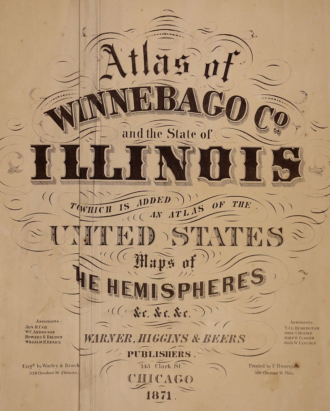
- The title page is not included, it is only for reference.
- Age
- Over 140 years old.
Item description from the seller
Seller assumes all responsibility for this listing.
eBay item number:355725025437
Postage and packaging
Item location:
Schertz, Texas, United States
Posts to:
Worldwide
Excludes:
Barbados, French Guiana, French Polynesia, Guadeloupe, Libya, Martinique, New Caledonia, Reunion, Russian Federation, Ukraine, Venezuela
| Postage and packaging | To | Service | Delivery*See Delivery notes |
|---|---|---|---|
| Free postage | United States | Standard Delivery (USPS Ground Advantage®) | Estimated between Thu, 27 Jun and Tue, 2 Jul to 43230 |
| Dispatch time |
|---|
| Will usually dispatch within 5 working days of receiving cleared payment. |
| Taxes |
|---|
| Taxes may be applicable at checkout. Learn moreLearn more about paying tax on eBay purchases. |
Sales tax for an item #355725025437
Sales tax for an item #355725025437
Seller collects sales tax/VAT for items dispatched to the following states:
| County | VAT rate |
|---|
Returns policy
| After receiving the item, cancel the purchase within | Refund will be given as | Return postage |
|---|---|---|
| 30 days | Money back | Buyer pays for return postage |
The buyer is responsible for return postage costs.
| Return policy details |
|---|
| Returns accepted |
Most Buy It Now purchases are protected by the Consumer Rights Directive, which allow you to cancel the purchase within seven working days from the day you receive the item. Find out more about your rights as a buyer and exceptions.
Payment details
Payment methods

Popular categories from this shop
Registered as a private seller
Thereby, consumer rights stemming from EU consumer protection law do not apply. eBay buyer protection still applies to most purchases.
Seller Feedback (8,903)
_***t (106)- Feedback left by buyer.
Past month
Verified purchase
Good job!
_***t (106)- Feedback left by buyer.
Past month
Verified purchase
Good job!
_***t (106)- Feedback left by buyer.
Past month
Verified purchase
Good job!
More to explore:
- Illinois Antique North America County Maps,
- Illinois Antique North America Wall Maps,
- Antique North American Maps & Atlases Illinois,
- Illinois Antique North America City Maps,
- Illinois Antique Original Antique North America Maps & Atlases,
- Illinois Antique North America Maps & Atlases 1800-1899 Date Range,
- Geological Map Antique Sheet Maps,
- Nautical Map Antique Sheet Maps,
- City Map Antique Folding Maps,
- Ordnance Survey Map Antique Folding Maps