Picture 1 of 5


Picture 1 of 5
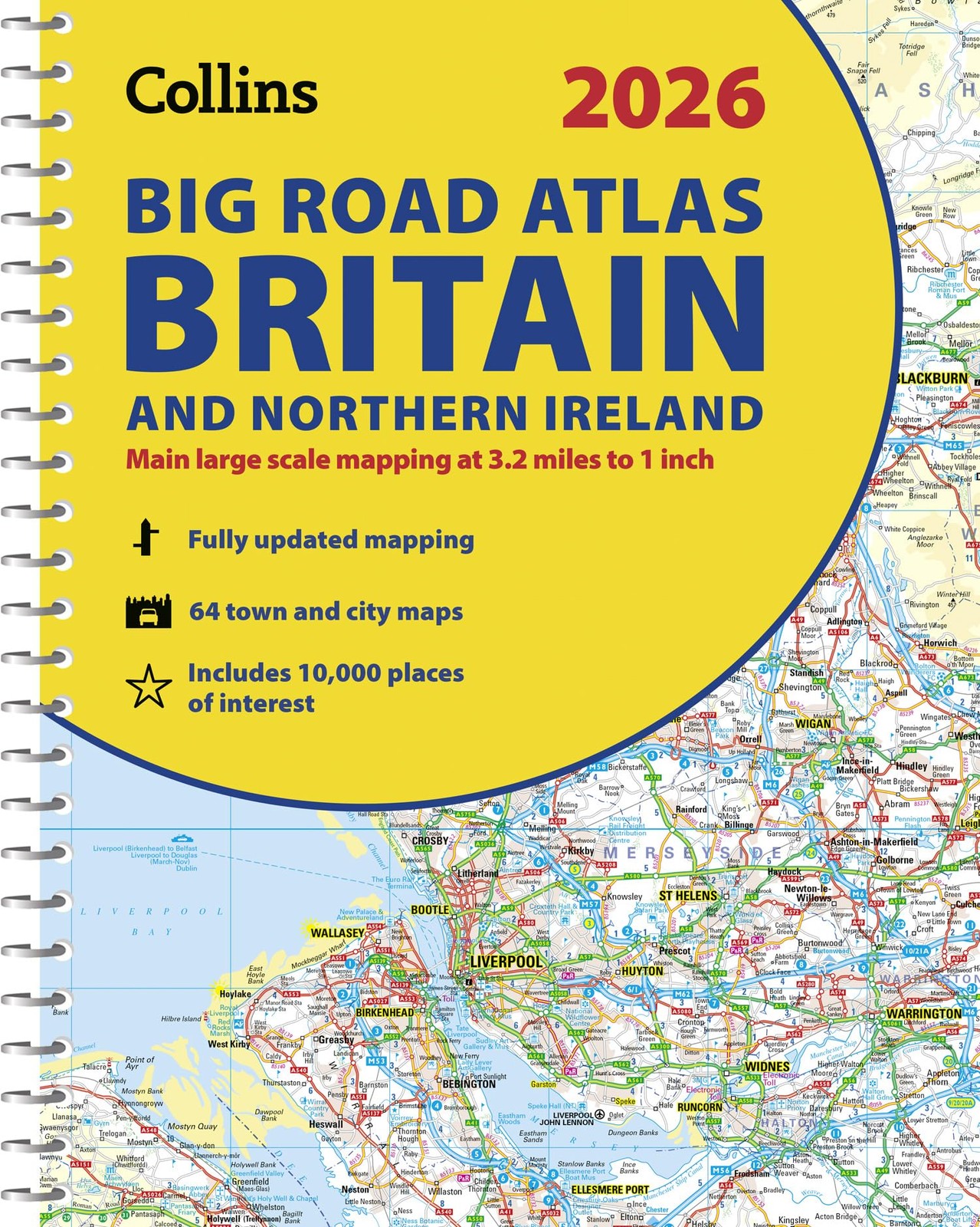


2026 Collins Big Road Atlas Britain and Northern Ireland: Clear and Detailed Map of Britain and Northern Ireland in A3 Size with Spiral Binding (Collins Road Atlas) by Collins Maps (2025, Sheet Map, Folded)

rarewaves-united (418999)
98.7% positive Feedback
Price:
€ 25.79
Free postage
Returns:
30 days return. Buyer pays for return postage. If you use an eBay delivery label, it will be deducted from your refund amount.
Condition:
- Buy it nowCollins Maps 2026 Collins Big Road Atlas Britain and Northern Ire (Spiral Bound)
Oops! Looks like we're having trouble connecting to our server.
Refresh your browser window to try again.
About this product
Product Identifiers
PublisherHarperCollins The Limited
ISBN-100008719217
ISBN-139780008719210
eBay Product ID (ePID)9084041831
Product Key Features
Book Title2026 Collins Big Road Atlas Britain and Northern Ireland: Clear and Detailed Map of Britain and Northern Ireland in A3 Size with Spiral Binding (Collins Road Atlas)
Number of Pages176 Pages
LanguageEnglish
Publication Year2025
TopicAtlases, Gazetteers & Maps (See Also Travel / Maps & Road Atlases), Maps & Road Atlases (See Also Reference / Atlases, Gazetteers & Maps), Europe / Great Britain
GenreTravel, Reference
AuthorCollins Maps
FormatSheet Map, Folded
Dimensions
Item Height0.4 in
Item Weight34.9 oz.
Item Length15.2 in
Item Width11.7 in
Additional Product Features
Intended AudienceTrade


